The course of your lesson
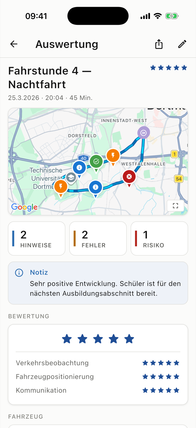
The saved GPS track shows the driven route. Markers lead to recorded situations. This lets you place each piece of feedback within the lesson rather than reading a disconnected list.
On the map, feedback has a location. The route and markers help you find a difficult junction or an unclear turning situation again.
“Check more carefully when turning” is hard to review if you cannot remember the place. The map puts recorded feedback into the spatial context of the lesson.
The saved GPS track shows the driven route. Markers lead to recorded situations. This lets you place each piece of feedback within the lesson rather than reading a disconnected list.
At a mistake location, you can see the associated description and severity. Available notes or media add context. The marker comes from the instructor’s record, not from automatic detection of every driving mistake.
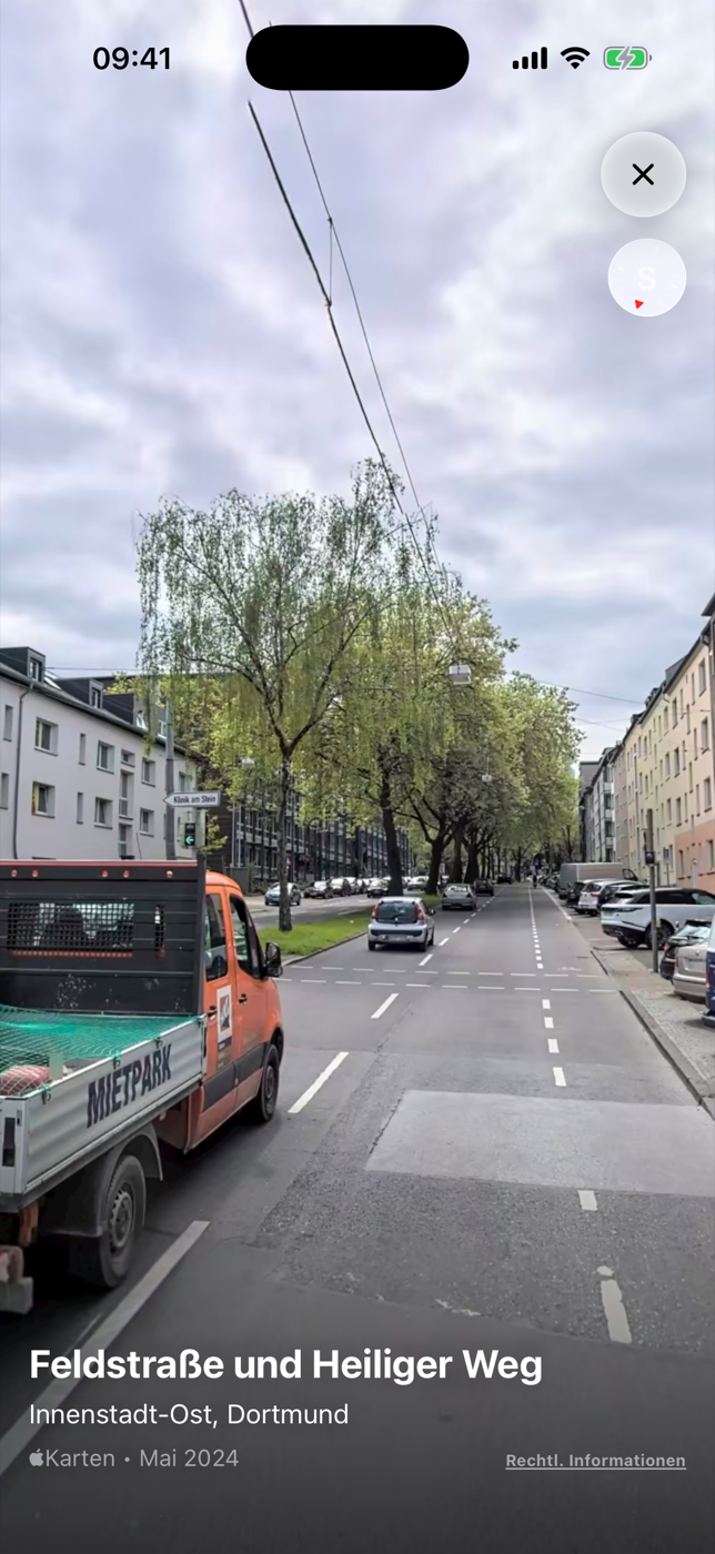
Where available, street imagery adds context to the mistake location. You can inspect signs, road layout and the surroundings. These are map-provider images, not footage of your particular lesson.
Three steps
Select a synced lesson in the review view.
Open a marker and read its description.
Collect unclear situations to discuss with your instructor.
GPS reception and map coverage affect the display. Street imagery depends on location and platform. The map records driven routes, not complete mastery of a traffic situation.
Students use RoadReview through a participating driving school. New schools can register their interest; the enquiry does not automatically activate access.
No. It shows available map-provider imagery. Recording the actual lesson requires the separate optional camera feature.
Relevant situations are recorded through the instructor’s documentation workflow and can be checked before the lesson is completed.
The spatial context helps connect individual feedback to a route and situation, and prepare questions for the next drive.
Ask whether your driving school uses RoadReview. Access is provided through the participating school. You can send an enquiry to recommend RoadReview to your school.